
Senda Azul (Blue Trail)
A riverside trail from the city to the beaches of Vigo
The Senda Azul (Blue Trail), which includes the Lagares River path, is a quiet riverside trail in Vigo that will take you to its beaches. You can access the Lagares River route from several streets in the centre of Vigo and walk along it in small sections: its overall length down to Samil Beach is approximately 5 miles. Once you’ve completed the path by the river, you can continue along the Senda Azul, whose route includes the river walk and continues down to Vigo’s beaches with a blue flag.
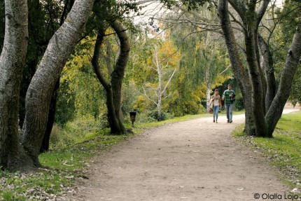
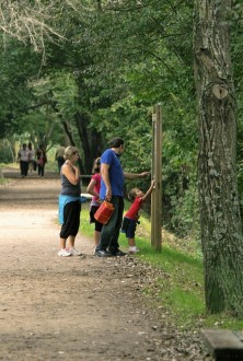
You can begin this trail along the Lagares River next to Madrid Avenue, near its end. You only need to leave the paved road on the right and start walking down the path along the river, which passes by several ethnographic elements. The main ones are around Castrelos Park, the largest in the city centre. Once you’ve passed the park, slightly to the right of the path, you’ll see the remains of a striking Romanesque bridge where the old riverbed used to be, which is now among several buildings.
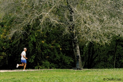
After passing the Balaídos Stadium, the river enters a less urban area that is protected by trees.
Once at the river's mouth, if you want to follow the Senda Azul along the beaches of Vigo, you need to turn right to walk another 2.8 miles towards the centre of the city and the seaside neighbourhood of Bouzas, passing by O Cocho and Mourisca beaches, among others, or left for 1.6 miles to reach the beaches of O Vao and Canido, next to the island of Toralla and its archaeological remains.
Practical information
Distance: 5 miles.
Duration time: Two hours.
Difficulty: Easy.
Type of route: Not circular.