
Senda del Agua (Water Trail)
Vigo’s water supply route
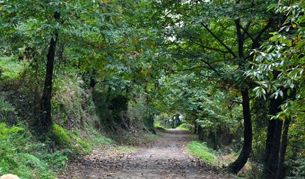
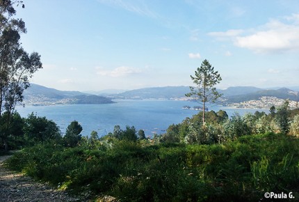
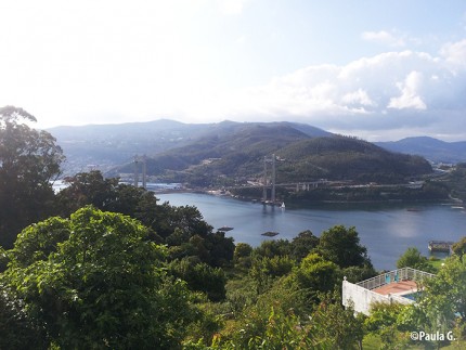
The senda del agua (water path or trail) is a nature trail in Vigo that runs along several access points and service roads to the channel that carried water from the Eiras reservoir, in Fornelos de Montes, to Vigo. The last section, near the town of Redondela, runs through an area of outstanding beauty, forests and streams, and along it you can contemplate most of the Vigo estuary and the Rande Bridge. Furthermore, it’s a trail with no steep areas, making it ideal for hiking with children in Vigo.
You can access the senda del agua from Cantabria Street, near the Travesía de Vigo, in the Lavadores neighbourhood. Although the course of the entire trail is much longer, a first approach could be to walk the first 8 miles between its beginning and the road that connects Redondela with Peinador Airport. Once there, it’s easy to access public transport for the way back. We also recommend you return on the same route, as the views change dramatically when walking in different directions.
The terrain along the senda del agua was reforested with native species and rest areas were built; and since it’s linked to water, you’ll find numerous fountains.
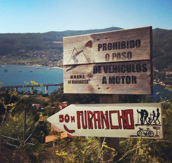
In the first section of the trail, you’ll find furanchos, small taverns where you can taste the local house wine in the traditional manner.
Practical information
Distance: 8 miles.
Duration time: Four hours.
Difficulty: Easy.
Type of route: Not circular.